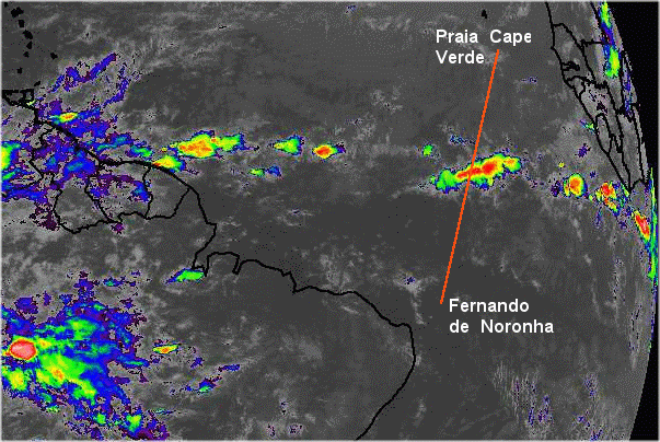
There was a 400 NM wide band of thunderstorms observed on the satellite IR (infrared) photo the morning (0545Z) of 21 May. A large detour would be needed.